

-
About UsZHONGTAI HENGBANG Engineering Technology Co., Ltd. is located in the Academician Entrepreneurship Base of Tai'an National High-Tech Industrial Development Zone, Shandong Province. The company is a comprehensive service provider specializing in engineering consulting and design, materials R&D and manufacturing, as well as operations and maintenance. With strong technical expertise and robust R&D capabilities, its products are primarily applied in critical areas such as water conservancy infrastructure projects, transportation infrastructure initiatives, and environmental protection solutions for isolating and preventing leakage from urban waste and highly hazardous industrial solid waste.

-
ProductsZHONGTAI HENGBANG Engineering Technology Co., Ltd. boasts production lines sourced from countries including Germany, Italy, Denmark, Belgium, and Switzerland, adhering to rigorous quality management systems and testing standards. We are equipped with advanced testing equipment capable of evaluating tensile strength, creep resistance, UV protection, water permeability, flame retardancy, antistatic properties, chemical corrosion resistance, and oxidation performance.
-
Application CasesThe product is primarily used in hydraulic infrastructure projects, transportation infrastructure projects, and environmental protection applications—including the isolation and impermeability of municipal waste and highly hazardous industrial solid waste.
-
BlogPrioritizing technological advancement and innovation, our company is committed to fulfilling user needs to the fullest extent possible.
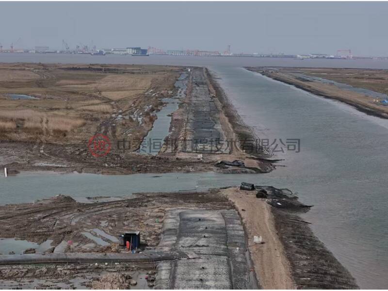
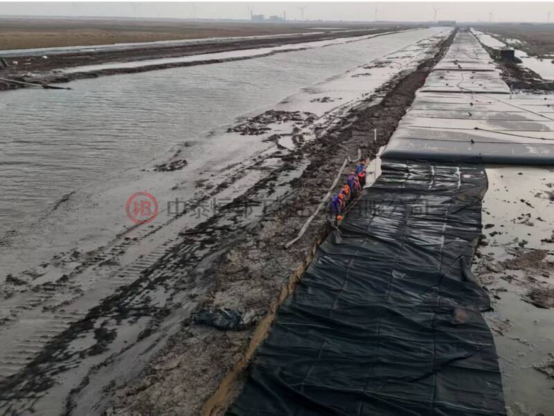
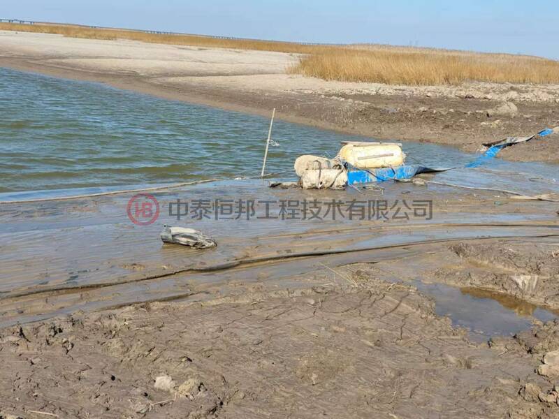
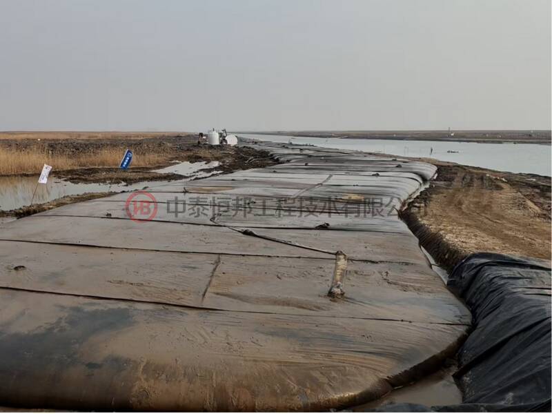
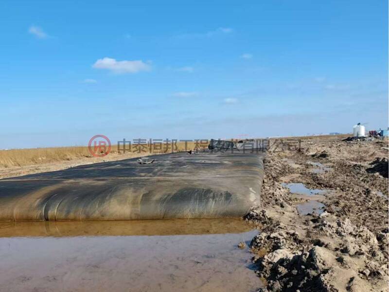
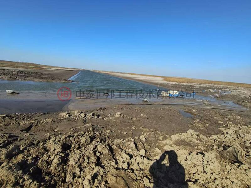
Chongming North Coastal Wetland *Spartina alterniflora* Integrated Control Project
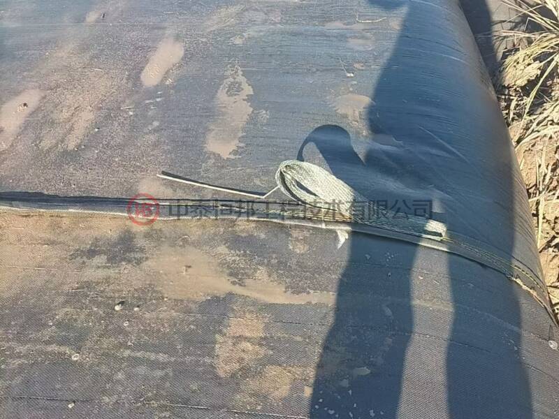
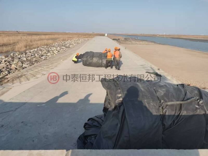
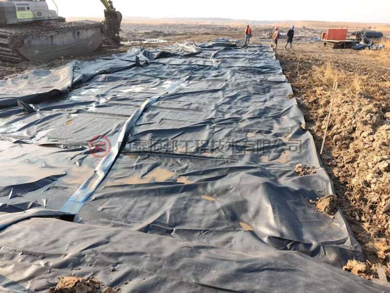
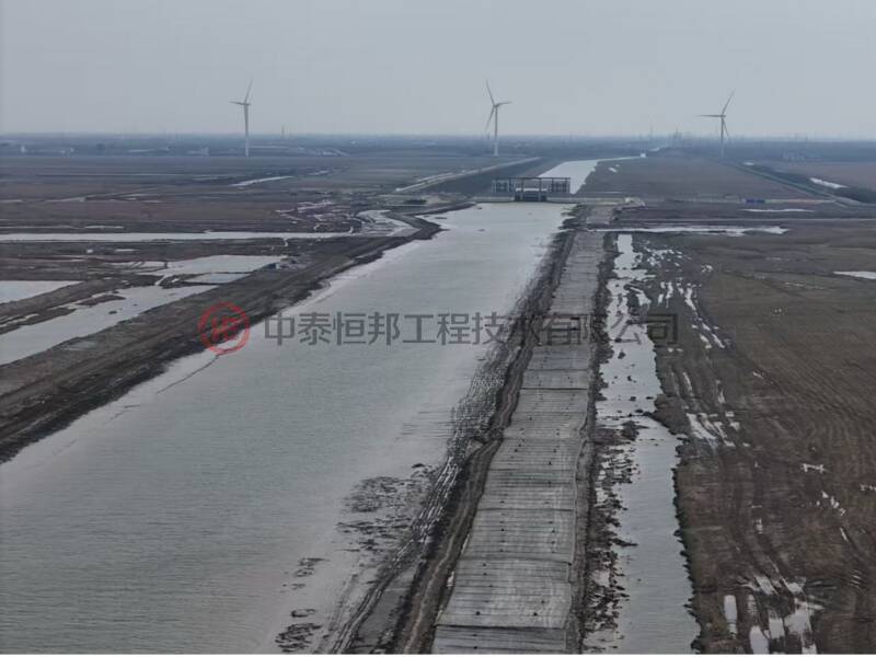
The project is located on the tidal flat area outside the seawall along the line stretching from the Chongqi Bridge to Liuyi Port in Chongming District, Shanghai. It begins in the west at the Chongqi Bridge, extends eastward to Liuyi Port, and is bounded to the south by the main seawall and to the north by the boundary between Shanghai and Jiangsu Province. The proposed use of marine resources involves temporary cofferdams. The selected site and intended use of marine resources for this project comply with the requirements of marine functional zoning. Specifically, the type of marine use falls under "Other Special Marine Uses" within the category of "Special Marine Uses," while the method of marine utilization will involve "Non-Permeable Structures." Our bureau has approved, in principle, the project’s proposed marine site and purpose, provided that the total marine area used remains within 150.0482 hectares.
Keywords:
Detailed description
The project is located on the tidal flat area outside the seawall along the line stretching from the Chongqi Bridge to Liuyi Port in Chongming District, Shanghai. It extends westward from the Chongqi Bridge, eastward to Liuyi Port, southward to the main seawall of the first-line sea dike, and northward to the boundary between Shanghai and Jiangsu Province. The proposed use of marine resources involves a temporary cofferdam. The selected site and intended use of marine resources for this project comply with the requirements of marine functional zoning. Specifically, the type of marine use falls under "Other Special Marine Uses" within the category of "Special Marine Uses," while the method of marine utilization will be through "Non-permeable Structural Facilities." Our bureau has approved in principle the site selection and intended use of marine resources for this project, with the total marine area capped at 150.0482 hectares.
After the project feasibility study is approved, you should submit an application to our bureau for marine use procedures. Upon expiration of the sea area usage period, promptly dismantle the temporary cofferdam and restore the sea area to its original condition.
This project should implement the ecological marine-use measures outlined in the Marine Use Assessment Report, as specified in the "Letter from the General Office of the Ministry of Natural Resources on Further Standardizing the Supervision of Project-Based Marine Use" (Document No. [2022] 640 of the Ministry of Natural Resources General Office).
It is recommended to further strengthen coordination and alignment with relevant industry departments and stakeholders, as well as to complete the necessary procedures.
The pre-review opinion for sea use under this project is valid for 2 years, calculated from the date of issuance, and will automatically expire upon reaching the end of this period. During the validity period, if there are any changes to the proposed sea-use area, location, or intended purpose of the project, the relevant sea-use procedures must be reprocessed.
Get a product quote
We’re here to help you every step of the way! Please fill out our inquiry form, and our team will respond promptly.
ZHONGTAI HENGBANG Technology Co., Ltd.
Address: East Section of Zhongtianmen Avenue, Tai'an High-tech Zone, Shandong Province
Service Hotline